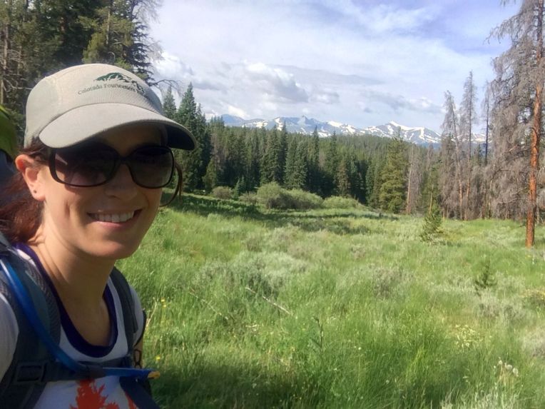
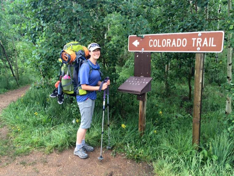
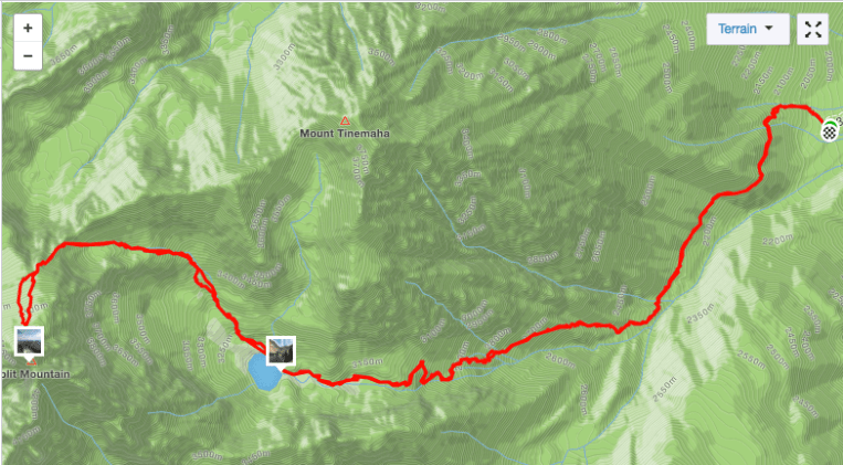
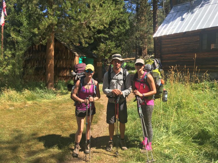
The final portion of my Colorado Trail through-hike. I was joined for the last 160 miles by Bill.
Day 24, 7/17. Pine Creek to Cochetopa Creek. 19.6 miles, 2390′ gain
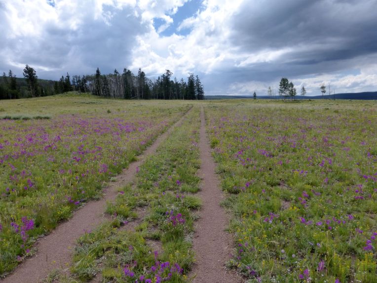
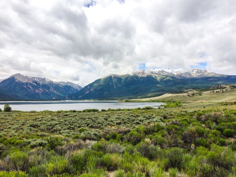
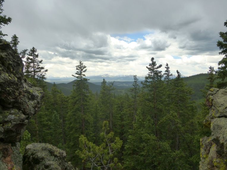
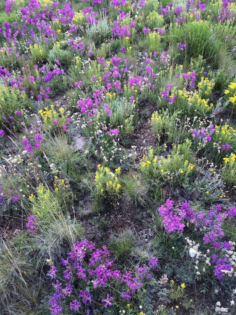
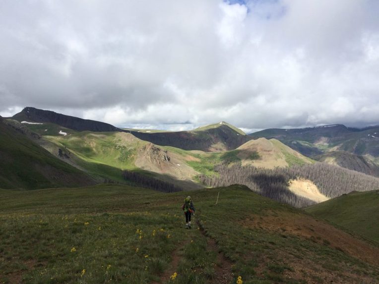
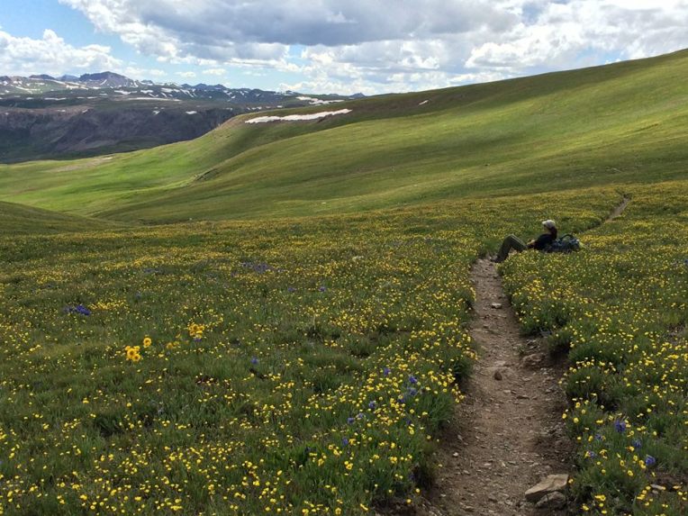
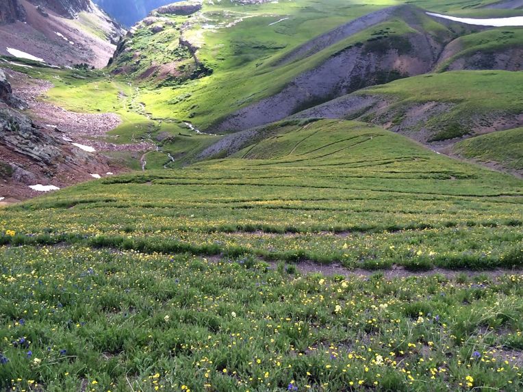
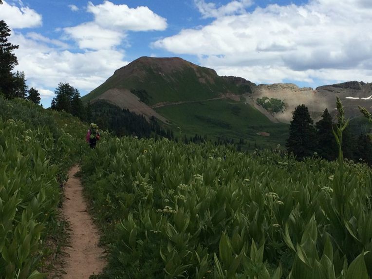
This was an interesting day. The trail in Segments 18 and 19 is mostly old ranching roads, leading through rolling fields used for grazing. There were often no trees anywhere near the trail, so there was no shade or shelter from storms. This was the first preview of the coming splendor of the San Juan wildflowers.
 I was hiking alone for the entire day, making my way across gentle but seemingly endless dirt roads through grassland. I could see San Luis Peak in the distance, which I would be passing by in a couple days. Afternoon thunderstorms rolled in over the Cochetopa Hills, and I watched intently as scattered showers formed and lightning made contact with nearby ridges. There wasn’t much I could do to protect myself from lightning other than keep moving and hope to be near a patch of trees if it got really close. Miraculously, the worst of the storms did not pass directly over me and I made it back to a forested area eventually. I crossed a small, high meadow once the sun came out. I was hiking down towards Cochetopa Creek with a ridge to my right. I had just noticed how bright it was with the sun out and it suddenly got extremely bright. Before I could even react, a crack of thunder split the air around me – lightning had struck the high point on the ridge above and behind me maybe a few hundred yards. That got my heart pounding! I was sheltered by trees so I waited a few minutes and then get on my way. I wanted to camp near Cochetopa Creek so I could have a short day the next day when I met Bill.
I found Tony, Kate, and Dan who I had been hiking with regularly for several days. We had a fire, drank some rum that Tony got in town, and I asked them to take a picture with me – since I was doing a short day the next day to meet Bill, our schedules would no longer align and I didn’t know if I would see them again. It was indeed the last night we camped together.

Dan, me, Tony, Kate
Day 25, 7/18. Cochetopa Creek to Eddiesville Trailhead. 6 miles, 920′ gain

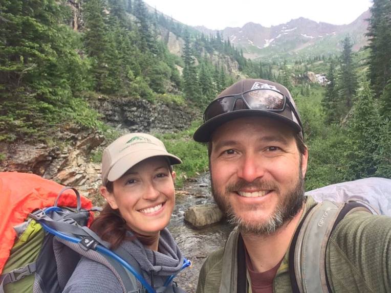
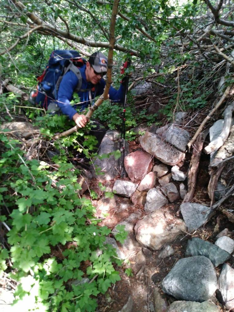
I was the last one out of camp today, but I left soon after my friends. About two miles from where we camped, the trail crosses Cochetopa Creek. There used to be a two-log bridge, but it washed out in the last year or two, so now the only way to get across is to walk. I put on my sandals/camp shoes and saw Tony, Kate and Dan on the other side drying off. They showed me the shallowest place to cross, which was still about knee-deep. I got across and put my shoes back on,. telling the three of them I hoped I would see them again. It rained for a bit while I hiked toward the Eddiesville trailhead, but had just stopped when I arrived and looked for a campsite near the road where Bill could find me. I got there at about 1pm, set up my tent, and finished reading Into Thin Air on my Kindle app. A few hours later, I saw Bill’s jeep pull up. His friend Jody had agreed to drive it back to Salida. I made room in the tent, we made dinner, and Bill was thrust into the world of through-hiking!
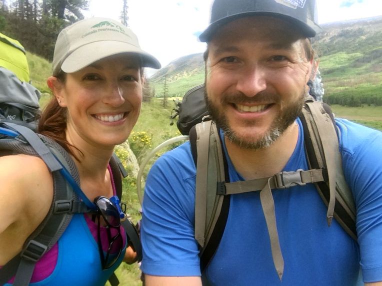
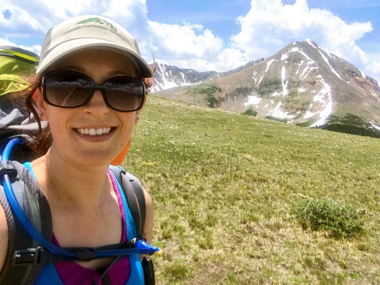
Day 26, 7/19. Eddiesville trailhead to San Luis Pass. 12 miles, 3590′ gain

Bill’s first steps on the trail, with me assuring him that he’ll love it
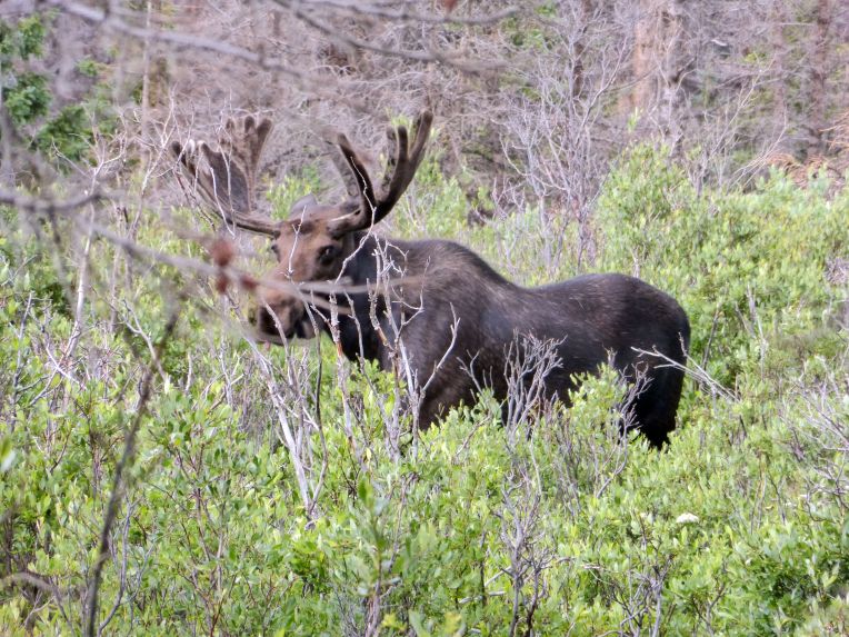
Bill really got thrown into the fire on his first day. From the Eddiesville trailhead, the trail gently winds towards the saddle of 14,000ft San Luis Peak, across the Continental Divide at 12,366′, and then San Luis Pass. The day started off pretty pleasantly, with no rain but a foreboding misty fog typical of the San Juans hanging over San Luis Pass. Skirting a meadow, we saw a moose and talked with Pony, a solo through-hiker who stopped to chat and take photos of the moose.
We made our way up towards San Luis, with me on my seasoned trail legs and Bill on his first day, and slowly made it over the Divide. It was then that the fog dropped, causing an eerie loss of visibility and a wet heaviness to the air. Then, it started raining. Hard. As became more common in the San Juans, the trail remained above timberline for nearly 20 miles, making it impossible to get shelter from the rain. We were trying to at least get into a lower drainage area that might contain trees, but that meant having to ascend a 12,887 foot high point on Peak 13111 first. The rain persisted and I pushed on as the trail went through tight willows on either side, lashing me with their wet branches. It was nearly 6:30pm when I realized I still couldn’t even see this high point and didn’t know how long it would take to get to possible shelter.

My last smile that day as the fog descends
I had never been so thoroughly soaked and freezing before. I went back to Bill and he asked me if I wanted to quit and go back to Creede. I really considered it, but it was out of the way and the idea of giving up after over 300 miles because of “a little rain” was unacceptable to me. We agreed to turn around, set up camp in the first available spot, and see how it was in the morning. If it rained all night and into the next day, we would call it and go to Creede. We found a wind block and mostly flat area next to some willows, and crawled into the hastily set up tent. We shivered and cooked dinner huddled inside the tent, the air frigid and damp at almost 12,400 feet. We warmed up as much as we could and hoped that our clothes would dry out in our sleeping bags. The rain and moisture in the air this day ruined my camera, so my photos after this point all came from my iPhone 5. That was a huge disappointment.
Day 27, 7/20. San Luis Pass to Spring Creek Pass. 14.3 miles, 2760′ gain
Miraculously, we awoke the next morning to a clear. blue sky with mostly dry clothes. I was filled with relief and glad that I decided to take a chance. We packed up and headed immediately up to the high saddle, with new hope.
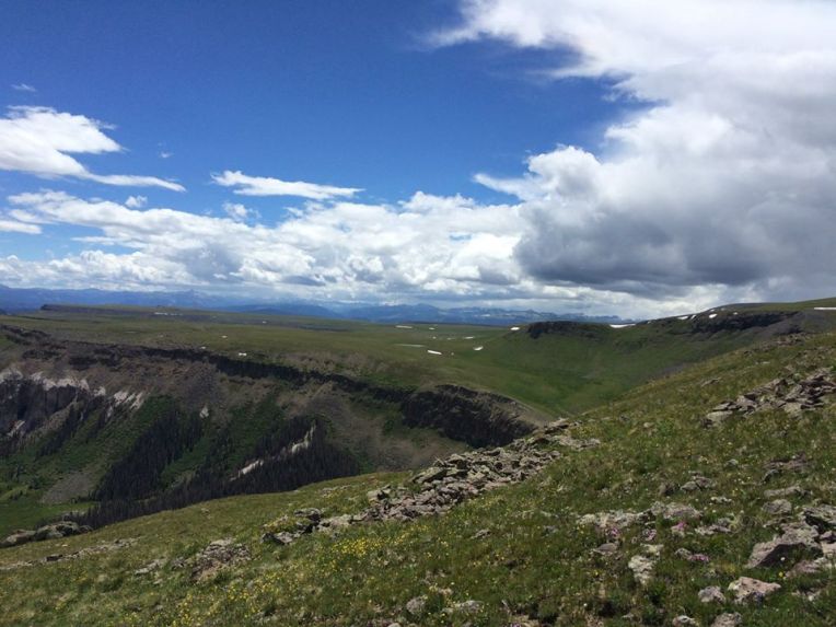
Our objective for the day was to get past Snow Mesa, a vast alpine plateau that is part of the geologically fascinating San Juan mountain range. This day is spent almost entirely above treeline, and the goal is to descend after Snow Mesa and get back into the forested area near Spring Creek Pass. It was only Bill’s second day, and he had an understandably slower pace than I was used to.I was worried about time, but we had no choice but to push at least 13 miles before the afternoon storms where we could get shelter to camp in.
Snow mesa was breathtaking. After rounding the shoulder of Peak 12813, it became visible along with a a spectacular view of the Uncompahgre Mountains and Rio Grande Pyramid. We hiked atop the mesa for 3.3 miles as we watched storm clouds form in the distance. A familiar swirl of mist came down the ridge alongside the mesa, and soon the trail was enshrouded in its sinister quietness until hail started coming down. It was over fairly quickly, and we eventually got to the edge of the mesa and descended into the forest. We crossed Highway 149 and walked into the Spring Creek Pass trailhead area where we set up camp.
Day 28, 7/21. Spring Creek Pass to Segment 22 mile 8.7. 8.7 miles, 1700′ gain
After two grueling days in the alpine, it made sense for today to be a lighter day, and to camp under tree cover for the last time for the next several days and over 40 miles. The day began with a hike up Jarosa Mesa, another high alpine mesa with incredible views of the nearby Uncompahgre Mountains. Wetterhorn and Uncompahgre Peak were to the right as we hiked along the mesa. We descended through a grassy area and back into the pine forest, where we set up camp near a marshy area. 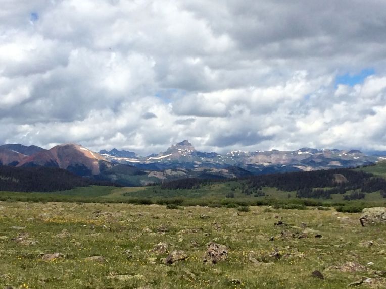
An iPhone quality photo of Uncompahgre Peak
There were several other hikers camped in the other campsites in the thickly wooded area to the south of the marsh. We were able to get a fire going, and were joined by our neighbor after dinner. I had been told about him from another hiker – he was from Florida and was section hiking different parts of the trail. His name was Hamid, and he was from Iran where he had lost a few family members during the war in the early 80s before escaping to the United States. He insisted on sharing food with us, and we had a great chat. He is one of my favorite people I met on the trail. He was going the opposite way as us, so we wished him a good hike before retiring to bed, knowing that we wouldn’t see him again.
Day 29, 7/22. Segment 22 mile 8.7 to Cataract Lake. 14.5 miles, 3000′ gain

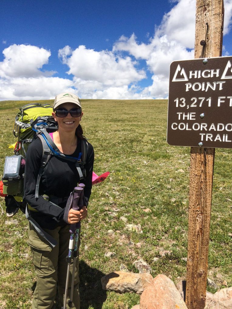
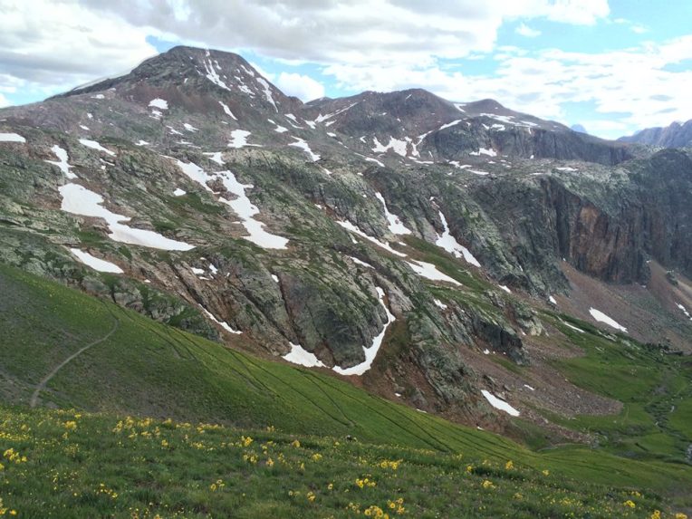
We headed out in the morning and walked through the last forest we would see for many miles. We climbed steadily up to the Continental Divide at 13,055′, getting views of Lake San Cristobal and nearby 14ers Redcloud, Sunshine, and Handies Peaks. After a few ups and downs between 12,000 and 13,000 feet, we reached the highest point on the Colorado Trail at 13,271′.
We descended to the trail junction at Carson Saddle, and then had another climb to a pass at 12,919. On the other side of the pass was a vast expanse of yellow wildflowers and my first time seeing the Grenadier range. The distinct silhouettes of Vestal and Arrow Peaks were in view for a short time before we descended toward Cataract Lake.
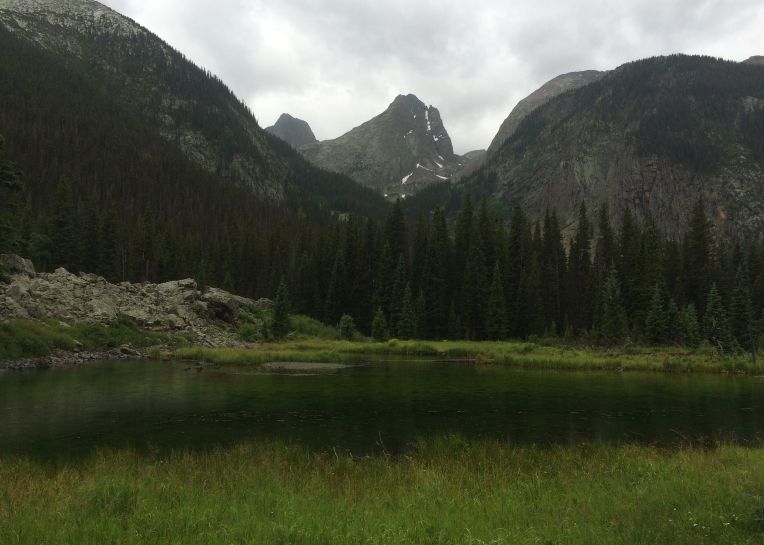
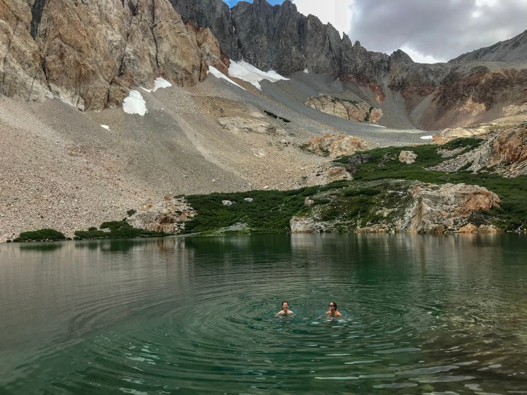
We set up camp near Cataract Lake, an alpine lake at about 12,400 feet. It was peaceful, and we were camped near a few other through-hikers, including Pony.We prepared for a chilly night and a tough day the next day.
Day 30, 7/23. Cataract Lake to Elk Creek drainage. 18 miles, 3800′ gain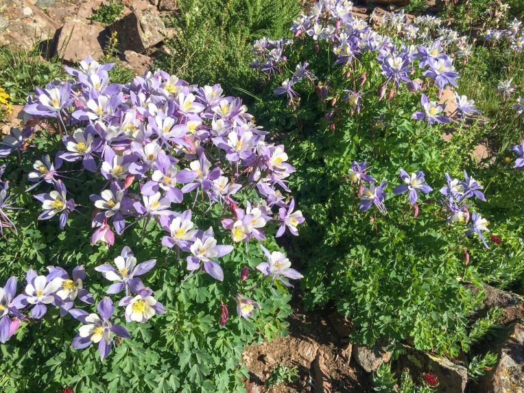
This was one of the hardest days, but also the one with the most spectacular scenery. The wildflowers were at their peak, and very abundant along the trail. We hiked out from Cataract Lake and headed up and down high valleys and admired the striking landscape of the San Juan mountains. We needed to get through Stony Pass and across another high mesa area. The goal for this day was to continue through the alpine before finally descending into the Elk Creek drainage in the Weminuche Wilderness.

The trail snaked through alpine meadows flush with wildflowers, surrounded by the typical rocky, jagged ridges in the San Juans. By this time, I was getting pretty confident in my ability to finish the trail, and I was getting very excited about hiking through the Weminuche. We hiked up and over the aptly named Stony Pass, and into increasingly interesting terrain.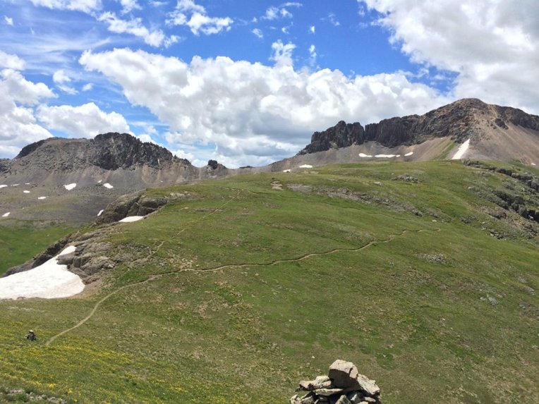
We contoured around Peak 12721 and got an even closer view of the Grenadiers. We still had almost ten miles to go before we would descend into the trees below them.

The trail crossed one more long, high mesa, following the Continental Divide. Finally, we split off from the shared Colorado Trail and Continental Divide Trail, and got our first glimpse of where we were headed.

This was the area that I had been waiting for. When I was having a tough day, I reminded myself that I was hiking towards the most awe-inspiring landscapes that Colorado has to offer. This is one of the most dramatic landscapes I have ever seen. The mesa descends sharply down a lush green hill exploding with wildflowers, taking 28 switchbacks and then following Elk Creek down into the canyon. White Dome and the eastern edge of the Grenadier range loomed above and to the left, with the abrupt edge of the mesa to the right.
13,627-foot White Dome
28 switchbacks descending nearly 2,000 feet to the canyon below
We made it down the switchbacks and the canyon narrowed, with thousand foot waterfalls on the opposite wall from snow melting off Peak One and Two. Finally, we got back to timberline and I inhaled the sweet smell of the forest. We set up camp near Elk Creek under tall pines.
Day 31, 7/24. Elk Creek to Molas Pass. 11.5 miles, 2280′ gain
Our elation from the previous day was short-lived. We awoke to a gray sky and it began drizzling right as we got on the trail. I had been eagerly anticipating getting great views and pictures of the now very close Grenadier peaks. Unfortunately, we had another day with weather typical of the area – rainy, with low clouds and fog obscuring most of the views. My shoes and socks got soaked, again, and I was in a mood where I was very sick of hiking and getting rained on.
We continued along Elk Creek, getting a pathetic photo of Arrow and Vestal, and continued in misery. We kept descending all the way to the Animas River, where we crossed it on a bridge at around 9,000 feet. The air felt rich and warm after spending so much time in the alpine. We saw and heard the Duramgo-Silverton Narrow Gauge train several times as its tracks followed the river. We then had to climb back up 2,000 feet to Molas Pass. While on the switchbacks, we were treated to an impressive view of Mount Garfield looming above the Animas River.

Though it was a shorter day, we arrived at Molas Pass exhausted and set up camp near the campground. It was probably the least-secluded area in this entire leg of the trail.
Day 32, 7/25: Molas Pass to Cascade Creek. 14.8 miles, 2370′ gain
We began our day by hiking through the Little Molas Lake campground and up a short section of trail with a lot of day use. We were stopped by an older couple from Texas, who seemed flabbergasted when we answered their questions about where we were from and how long I had been on the trail. Yes, all the way from Denver. About 400 miles. A month. Yes, really. They took a photo of us and we saw them a few more times on the trail before they headed back. We had a great view of Engineer Mountain across the basin as we circled around it.

A rib cage, with Engineer Mountain in the background
I stopped to take a break and Bill made a comment telling me basically to hurry because he “just wants to get [the hike] over with” so he could get back home to work. I was incensed. I did this hike to escape the stresses of my real life – an extra semester of college, student loan and credit card debt, a low-paying job… On the trail, I could forget about those things. Bill couldn’t wait to get back to it. I was so upset that I hiked at my normal pace, leaving him behind, angrily realizing that our connection to or reasons for being on the trail were likely very different.
Eventually we talked it out and continued the day together. We found a great campsite near Cascade Creek, where we did some laundry, had a fire, and were visited several times by two curious deer.

Drying socks over a fire, with mixed results
Day 33, 7/26: Cascade Creek to Straight Creek. 14 miles, 2730′ gain
This was a good day. Bill had finally gotten his trail legs, and the hiking was very beautiful. We contoured around a ridge and then up to a saddle, where we were greeted with an awesome view of Lizard Head and the Wilson group.

The wildflowers were still incredible, and the landscape was always changing. We went up and down forested ridges and then the trail went up a long ramp and over Blackhawk Pass. We descended steeply off the pass and to the headwaters of Straight Creek just below timberline. We had a great campsite all to ourselves and some very bold squirrels.

Day 34, 7/27: Straight Creek to Scenic Overlook. 15.7 miles, 2060′ gain
This was a day of mostly uneventful forest hiking. Much of it followed old logging and forest service roads. We hiked away from Blackhawk Pass and through flat forest, passing one solitary bump in the forest named Orphan Butte. Finally we ascended a ridge and followed a sign at a trail intersection promising a scenic overlook. We found a campsite along the way and then continued and walked out onto a precipice with nearly 360 degree views. To the north, we saw a now faraway Blackhawk Pass, and all along the horizon we saw recognizable peaks like Sneffels, Eolus, Pigeon, Turret, and others. We only had two more days of hiking ahead of us, and we shared a flask of whiskey that Bill had packed.
Day 35, 7/28: Scenic Overlook to Junction Creek. 15.4 miles, 1980′ gain

Despite being our second-to-last day, the trail kept providing more fantastic scenery. After leaving the campsite, we slowly ascended through forest to alpine meadows up onto Indian Trail Ridge, a series of rounded high points covered in wildflowers with great views of the Hesperus group. We traversed the ridge and then had a steep, rocky descent toward the picturesque Taylor Lake. We went over Kennebec Pass, then descended back into the forest to find our final campsite. We followed Junction Creek down to 8,500 feet, soaked our feet, and set up the tent for the last time.
Hiking through cornhusk lilies on the way to Kennebec Pass
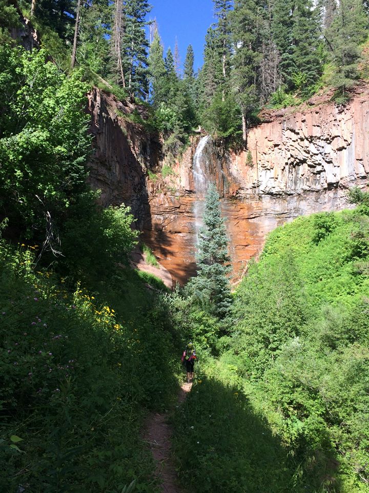
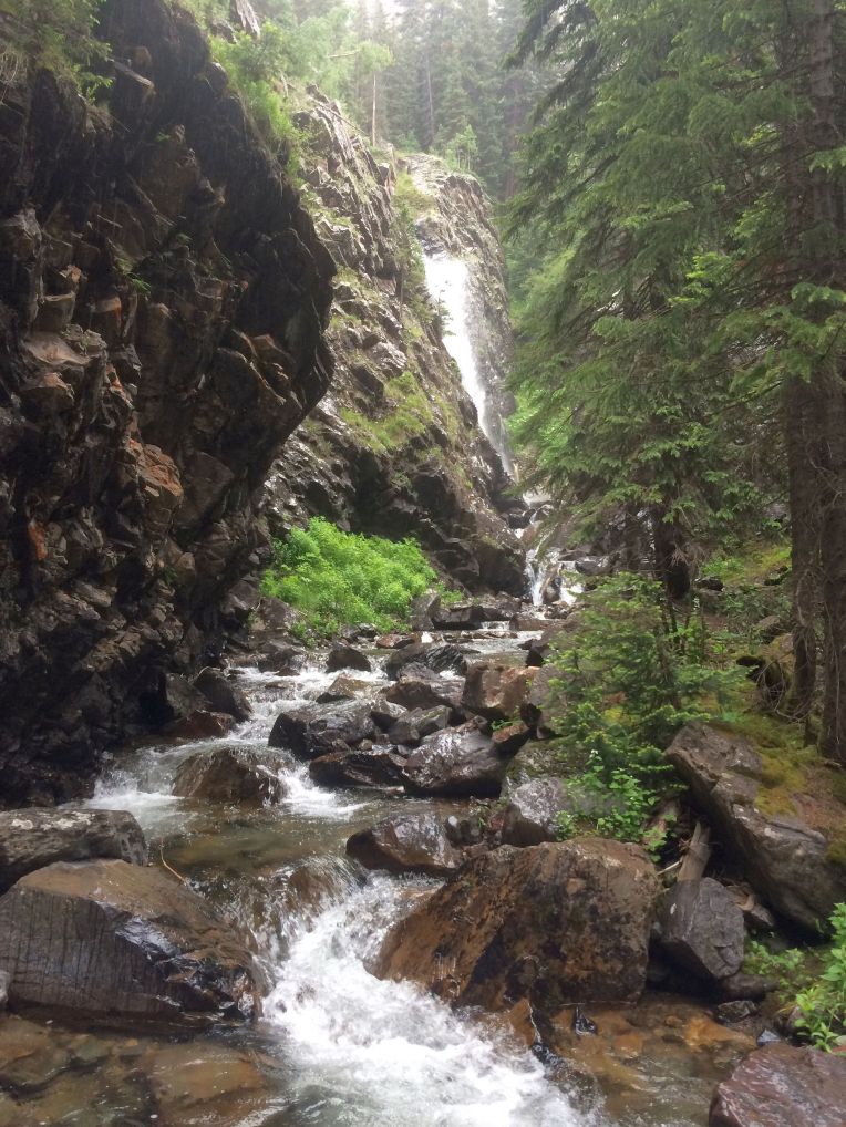
The last of many waterfalls I saw
Day 36, 7/29: Junction Creek to Colorado Trail Southern Terminus. 14.4 miles, 1370′ gain
The final day of my Colorado Trail through-hike. It didn’t seem possible, but I was going to finish the trail. We took down the tent and packed up for the last time, and started hiking toward Durango. The dramatic scenery was all behind us, and I found myself simultaneously being excited to finish, but sad to be leaving the trail. The last landmark is “Gudy’s Rest”, a bench and overlook named for Gudy Gaskill, the “Mother of the Colorado Trail” and one of its founders.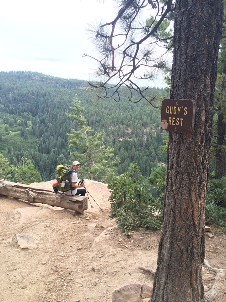
Before I knew it, we started seeing more and more people, casual hikers, on the trail. We crossed Junction Creek one last time, followed it, and then walked into the parking area at the trailhead. We were greeted by two amazing friends, Steve and Caitlin, who had driven to Durango to pick us up and hang out for a couple days. I don’t remember exactly what was going through my mind as I lifted my backpack over my head in pride, but it felt pretty great.
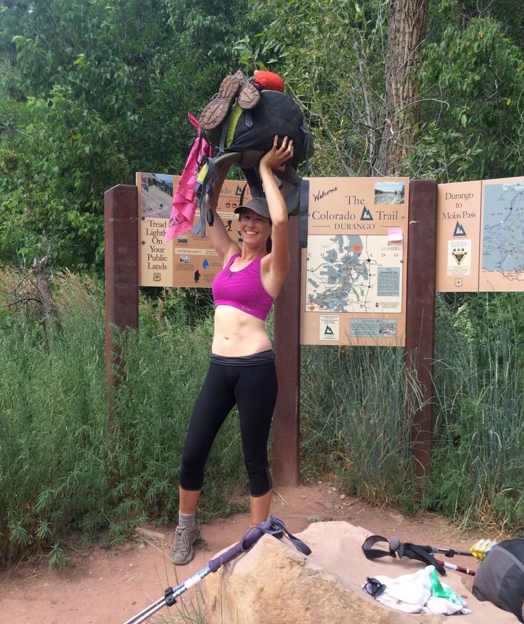
Bill and I posed for some pictures, and then got in a car and drove back to civilization.

***********************************************************************
The shower and meals that followed were incredible. I had lost 15 pounds and needed to buy new clothes in Durango. We enjoyed walking around in town, eating great food and having a few drinks. Bill and I got a deep tissue massage the next day, which I cannot recommend highly enough. Tony finished just behind me but had to leave for a wedding, so I didn’t get to see him in town. Dan and Kate finished the day after us, and we were able to meet up for pizza and drinks that evening.
People’s first question to me is “Why did you do it?” and I’m afraid I don’t have a great answer. Soul searching, a break from civilization and reality, and the ultimate test of my mental and physical endurance is pretty accurate. It was the hardest thing I’ve ever done, as well as the best. I would love to hike parts of it again, or if I’m being honest, the whole thing if I got the chance. But I know that I can never again have the exact same experience, which is why I am preserving it the best I can through words and images.I could not step twice onto the same trail, and eagerly await the next one.


 Unfortunately, the trail doesn’t actually begin here.
 Nevada Falls
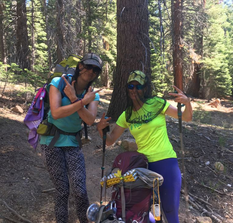 Keeping it gangsta. There were a LOT of bugs!
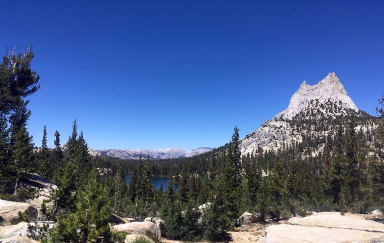 Cathedral Peak


 Fake it til you make it!
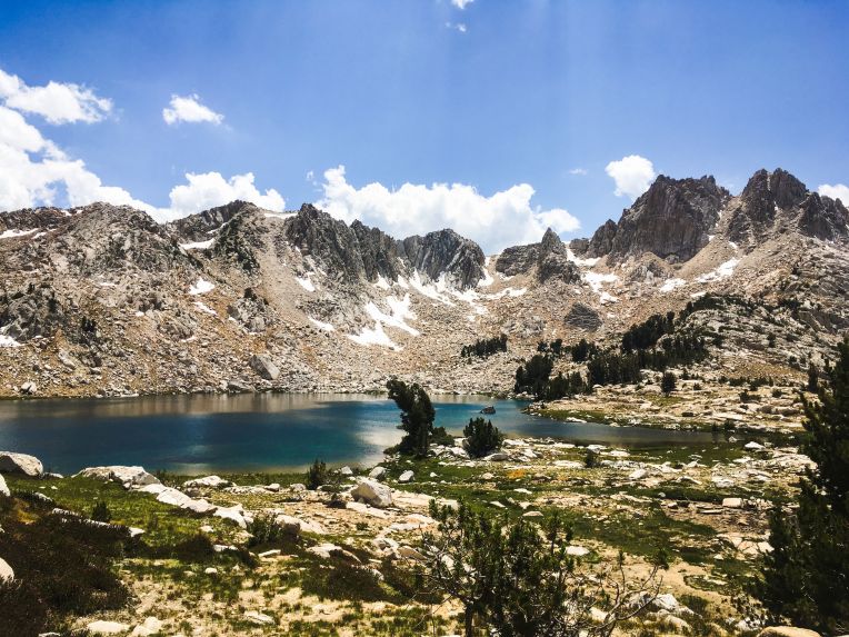 Near Silver Pass
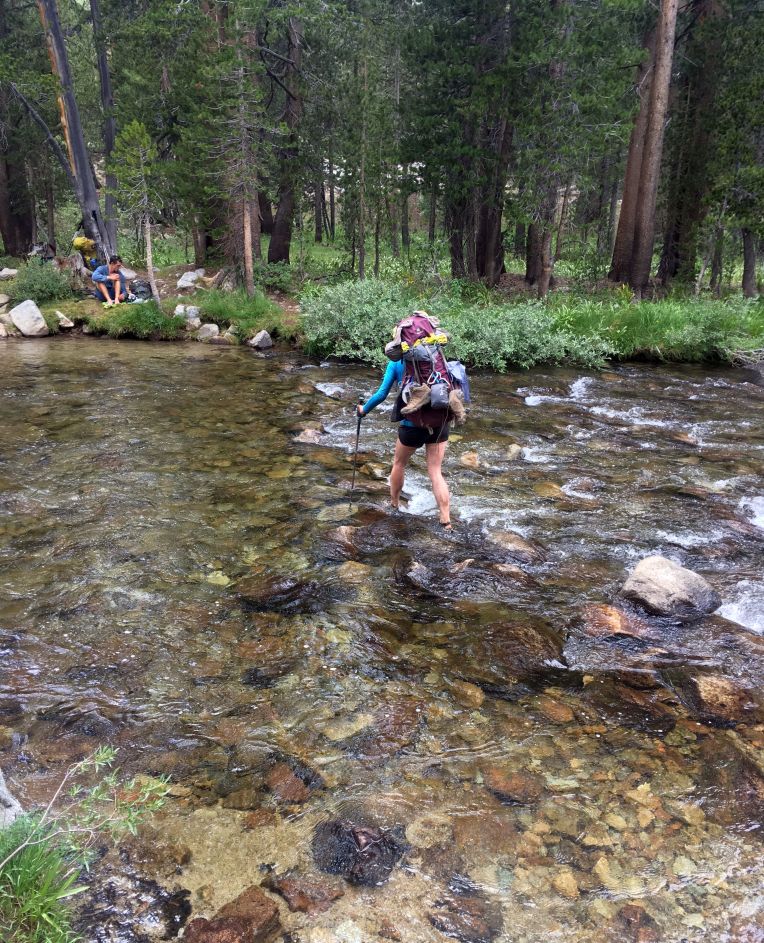 Justina wades across a creek crossing
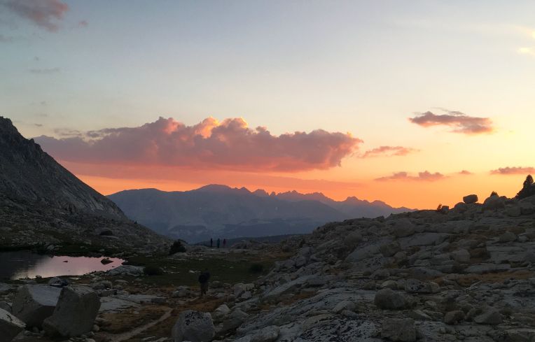
 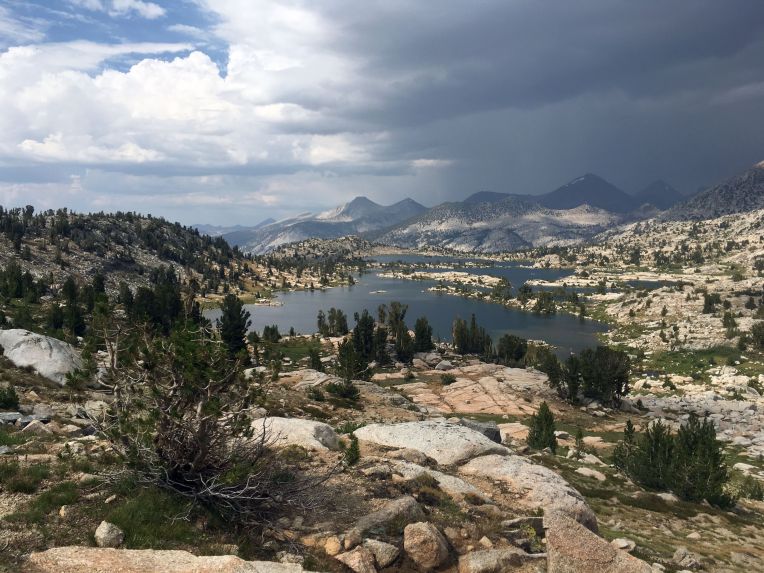 The storm behind us
 Hiking up into beautiful Kings Canyon


 Le Conte Canyon is where this guy lives!


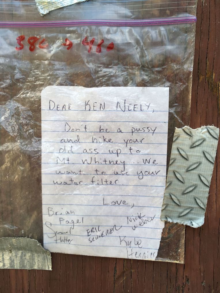 One of the better notes we saw along the way, haha


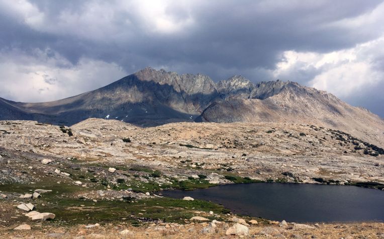
 Sunset behind Guitar Lake
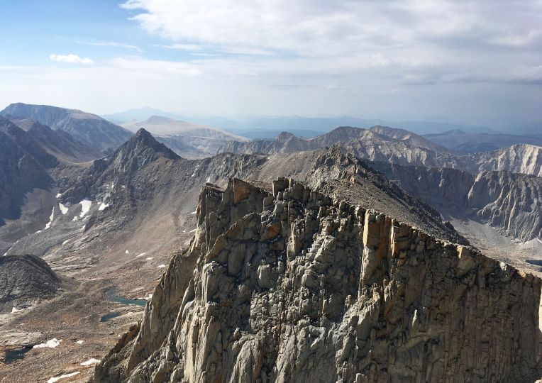
 That lake really does look like a guitar

 Justina and Dan descending the 99 switchbacks, with Mt. Muir and Whitney above